Turn by turn
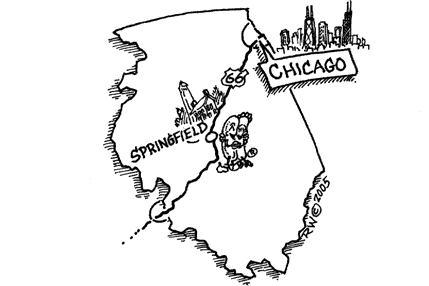
Random point of interest
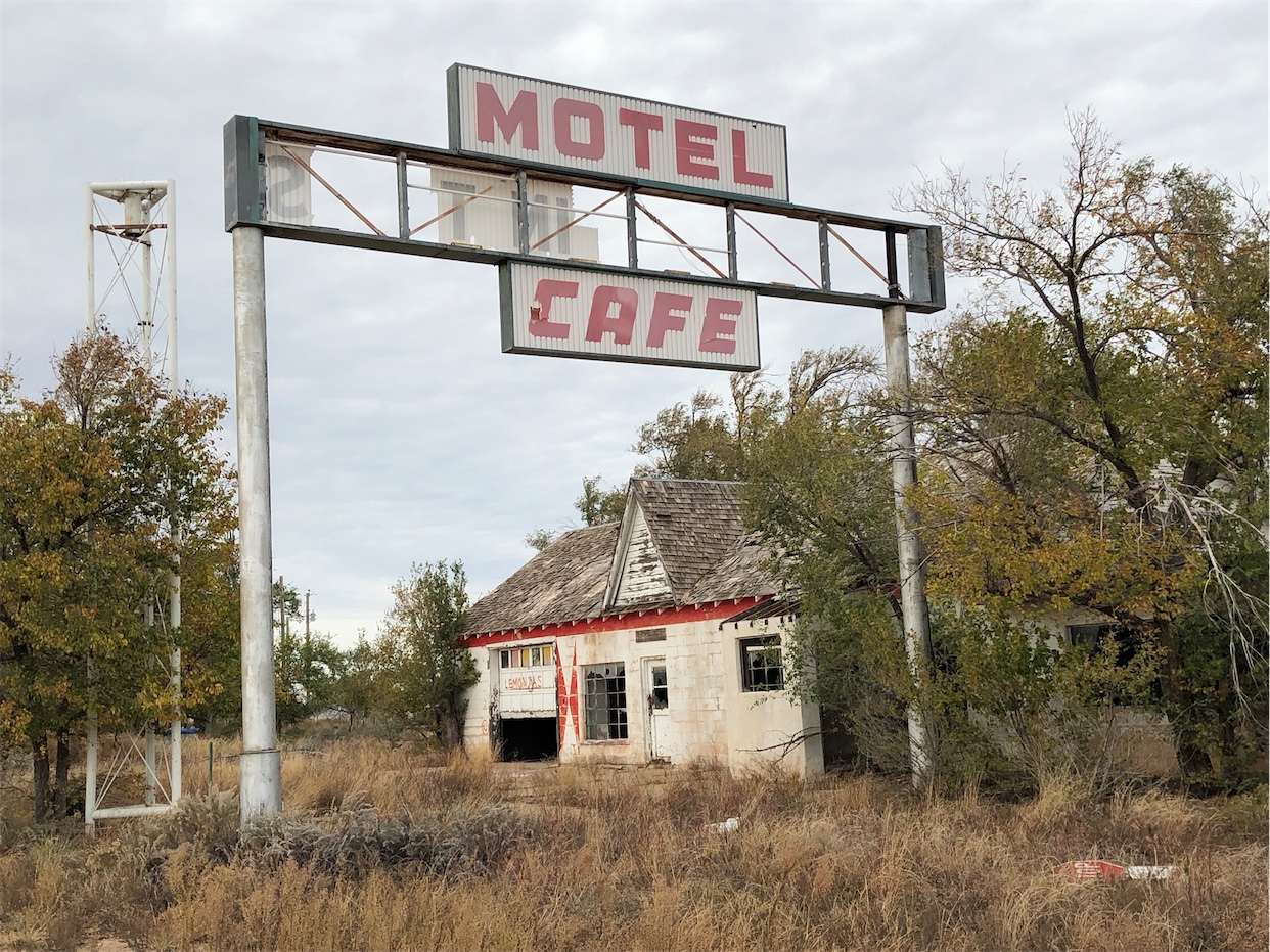
Glenrio Motel
Located at the state line, this complex was known for its signage. For east bound ...
DetailWestbound Hamel
Printing this description can take a lot of time, so you might want to consider buying commercially available alternatives such as the 8 map set and the EZ66 guide to take along on your trip.
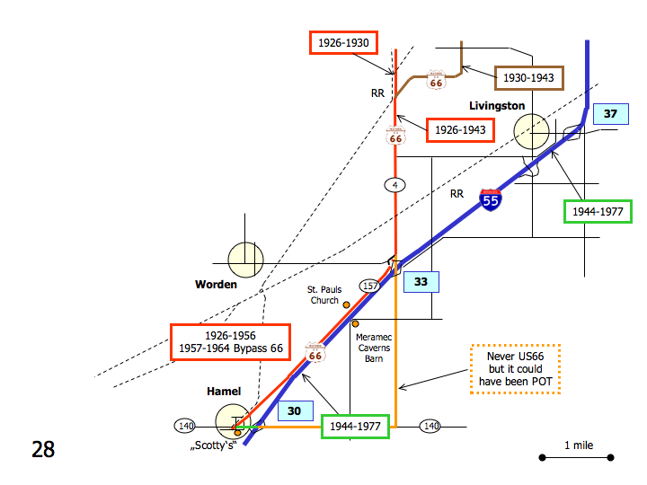
Map courtesy of Stefan Joppich – Legend
| 1926-1930 | 1930-1943 | 1944-1956 | post 1957 |
|---|---|---|---|
| Continued from Staunton.
Continue south on IL-4. Cross the railroad intersections. Continue south as Williamson Rd. joins us. |
Continued from Staunton.
Contineu south on Sievers Rd. Curve right (=west) onto Williamson Rd. Follow as Williamson Rd. curves left (=southwest) Left (=south) on IL-4. |
Continued from Staunton.
Continue south on I-55. LivingstonContinue south on I-55. Saint Pauls Church Meramec Caverns Barn HamelContinue south on I-55 till exit 30. A choice of alignments is available: Choose your alignments all the way into Saint Louis here. |
|
| Continue south on Il-4.
Right on Possum Hill Rd. (Frontage Rd.) [connecting]
Do not cross I-55. Next Left on W. Frontage Rd. Saint Pauls Church Meramec Caverns Barn HamelContinue as the frontage road renames to OLd US Route 66. Continue straight at the intersection with IL-140 onto IL-157 (Old US Route 66). |
|||
| Use exit 30 off of I-55.
Right (=west) on IL-140. Left (southwest) on IL-157 (Old US Route 66). |
Continue on I-55. | ||
| Continue on IL-157 (Old US Route 66) southwest.
Scotty’s |
|||


