Turn by turn

Random point of interest
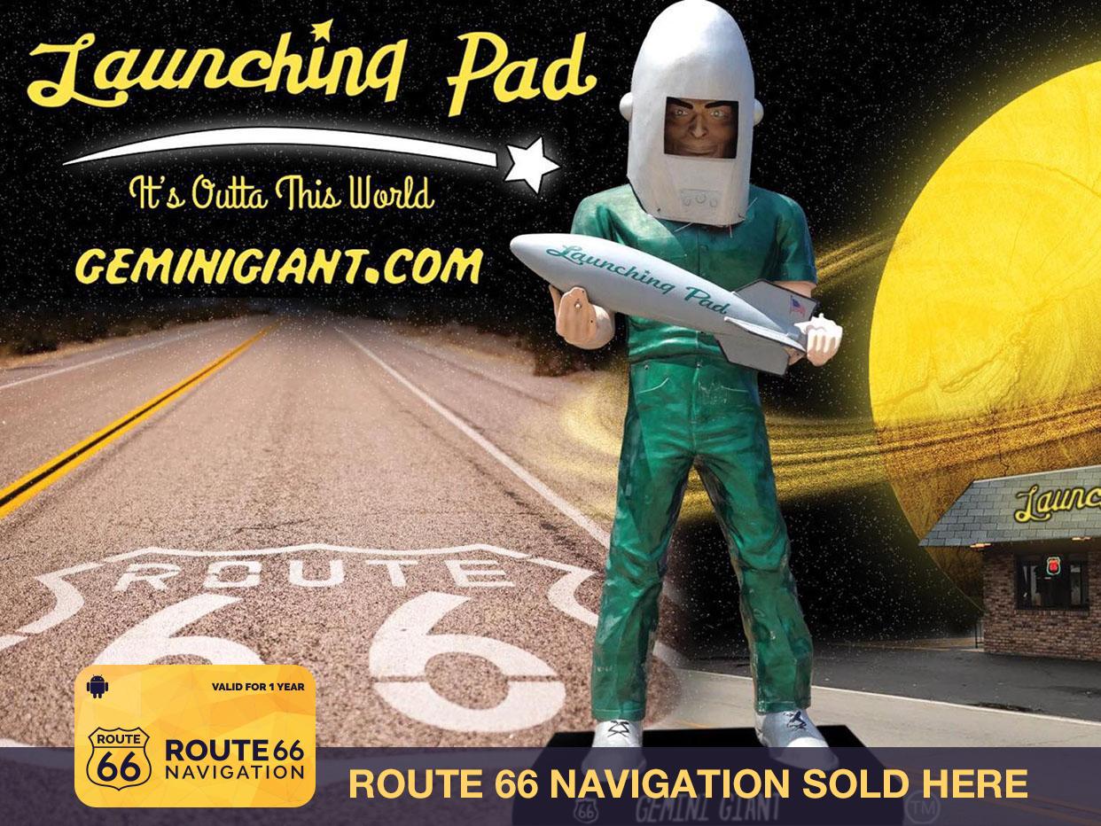
Launching Pad
ROUTE 66 PASSPORT STAMP PLACE ✭✭✭✭✭ The Route 66 Navigation team rates this as a highly recommended stop. ...
DetailWestbound Collinsville
Printing this description can take a lot of time, so you might want to consider buying commercially available alternatives such as the 8 map set and the EZ66 guide to take along on your trip.
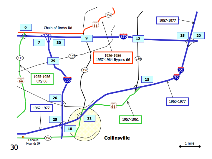
Map courtesy of Stefan Joppich – Legend
Warning: Some of the alignment choices have effects into Saint Louis, read ahead before making your choices as some might travel unpleasant neighbourhoods or dead-end on missing or undrivable bridges.
| 1926-1956 1957-1964 bypass |
1955-1956 City 66 | 1957-1961 | post 1962 |
|---|---|---|---|
| Continued from Edwardsville.
Continue on IL-157. Follow as the road curves right (=west) just before the intersection with S. University Dr. Straight across on Chain of Rocks Rd. at the intersection with University Dr., leaving IL-157. Follow some curse to continue west on Chain of Rocks Rd. Cross over I-255. At the intersection with IL-111 a choice of alignments is available: |
Continued from Edwardsville.
Continue south on I-55/I-70. Continue past the exits for US-40. At exit 15 a choice of alignments is available: |
||
Use exit 15A towards Collinsville.
MaryvilleJoin IL-159 (Vandalia St., The Historic National Rd.) southbound. Cross over I-55/I-70. Some older alignment instead of the new interchange can be found: Next Left on St. Charles Dr. Troy Rd. in both directions is the original road (250 feet south, and only a short 0.3 mile section to the north). CollinsvilleCurve right onto Belt Line Rd. To visit the world’s largest catsup bottle: Continue straight on IL-159 (Vandalia St.) Right on Clay St. (IL-159). Next left on so Morrison Ave. (IL-159). Continue west on Belt Line Rd. Cross under I-55/I-70. Left (=south) on IL-157 (BLuff Rd.) Cross under I-55/I-70. Continue south on Bluff Rd. (IL-157) Veer right (=west) on Collinsville Rd. Cross under I-255 Continue west on Collinsville Rd. |
Continue on I-55/I-70 | ||
| Continue straight (=west) on Chain of Rocks Rd. | Left (=south) onto IL-111.
Cross under I-270. Continue south on IL-111. Pontoon BeachContinue south on IL-111. (Great River Rd.). Continue straight at the intersection with Pontoon Rd. Continue straight at the intersection with IL-162. Continue straight at the intersection with Horseshoe Lake Rd. Continue next to Horseshoe Lake. |
||
