Turn by turn
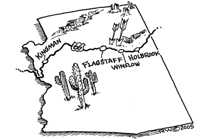
Statewide
ArizonaAs Route 66 doesn’t appear on modern maps anymore, one needs a good description before heading out on the old 2-lane highway.
Select the starting point and direction you’d like to travel.
Copyrighted material, all rights reserved.
Enter Arizona on I-40.
Take the first exit from I-40 onto SR66 East and follow the signs.
When you get to Golden Shores, go straight to Oatman.
Follow SR66 to Oatman
Take Oatman Road East out of Oatman
Turn Right onto BL-40 (It’s Andy Devine Blvd., though not marked as such)
Pass under I-40
Turn Left at I-40 exit 44 (McConnico)
Follow path of railroad through narrow canyon
At ‘Y’ intersection, turn Right to remain on BL-40
Follow into Kingman
- Quality Inn in Kingman is dedicated to Rt. 66. Don’t miss it, it’s quite a place. It has more memorabilia than the Route 66 Hall of Fame in Illinois.
Head East out of Kingman on SR66 through Valentine,
Truxton, Peach Springs, Nelson, Seligman.
Exit Seligman to the East on Crookton Road (SR66)
Crookton Road intersects I-40 before Ash Fork. Older alignment?
Follow to Ash Fork
Enter I-40 East
Leave I-40 at Exit 161
Follow Bill Williams Blvd. East
Pass under railroad
Enter I-40 at Exit 165, follow to Exit 171.
Head East on North Frontage Road
Re-enter I-40 at Exit 178
Leave I-40 past Bellemont at Exit 191
Take Old Highway 66 East
Turn Left onto Sitgreaves Street
Pass railroad
Turn Right onto Santa Fe Ave. (labeled Route 66) at Flagstaff
- Walnut Canyon- Ancient cliff dwellings
Santa Fe Ave. dead-ends into Walnut Canyon. You have to get back on I-40. I couldn’t find the frontage road. Besides, there’s a lot of dirt road on Route 66 at this point.
At Junction of US 89, bear right onto Camp Townsend-Winona Road
Enter I-40 at Exit 211, through Winona, Leupp Corner
- Point of Interest: Meteor Crater, 9 miles south of I-40 at Exit 233
Leave I-40 at Exit 252 West of Winslow
Take 2nd Street (Rt. 66) East, go through Winslow
Find BL-40, Follow East(ish)
Turn Left onto frontage road on south side of I-40
Enter I-40 at exit 257
Leave I-40 at exit 269, Take south frontage road East
Follow frontage road East (to north of I-40)
Just West of Jack Rabbit, cross to South side frontage road
- Point of Interest: Jack Rabbit Trading Post
Continue East on south side frontage road
At Exit 274, cross to north side frontage road
Enter I-40 at Exit 277
Leave I-40 at Exit 285
Take Hopi Drive East through Holbrook
Turn left onto Navajo Blvd.
Pass under I-40 at far edge of city
Enter I-40 at Exit 289
- Point of Interest: Petrified Forest, Painted Desert
Leave I-40 at Exit 333
Do NOT follow north side frontage road East, it dead-ends.
At Sanders, enter I-40 at Exit 339
If you can travel extensive unpaved roads, follow this next section.
Leave I-40 at Exit 342
- Note: May want to stay on I-40 through Houck and Lupton. 66 is dirt road between Exit 342 and Exit 339. But has Querino Canyon Bridge, Old Querino Canyon Trading Post points of interest.
Take north side frontage road East, onto dirt road, passing Querino Cross Box Canyon
Dirt road becomes 346 (Big Arrow Road).
Take it East to I-40, and enter I-40.
Leave I-40 at Exit 354 (Hawthorne Rd.)
Take south side frontage road East into New Mexico
Description courtesy of Kelly Cash
