FAQ
Back to FAQ overview
- Avoid the interstate and travel on historic Route 66 only with turn-by-turn Route 66 Navigation app for smartphones
- Purchase Route 66 Passport before your Route 66 trip. Click here
-
Do you prefer paper maps?
Try McJerry's EZ 66 Guide Book
Random point of interest

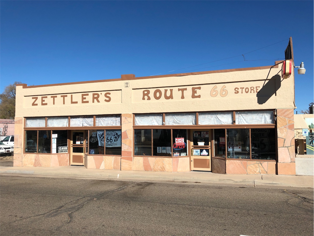
Zettler’s Route 66 Store
Zettlers was named after Homer and Marie who opened a bakery in Ash Fork in 1929. ...
DetailExactly where does Route 66 start and end?
Starting from the onset in 1926, endpoints of US highways had a rule that they terminated onto other US highways. This rule meant that they created a connected network and not ended just about anywhere.
Just as Route 66 was realigned quite a bit over the years, so where the endpoints moved about a few times.
To make it easier for modern readers to understand this, we’re using current street names, not the old ones when they differ.
Official eastern endpoints
- [1926-1937]: Jackson Blvd. at Michigan Ave. in Chicago, IL
- Route 66 ended here together with some other US highways onto US-41.
- In 1933 Lake Shore Dr. on the south of Route 66 was carrying US-41. But it still connected to Route 66 as US-41 turned to Michigan Ave via Jackson Dr. before heading further north.
- [1937-1977]: Jackson Dr. at Lake Shore Dr. in Chicago, IL
- When the Outer Drive Bridge over the Chicago River opened in 1937, US-41 moved on the north as well as the south side to Lake Shore Dr. As a consequence, Route 66’s endpoint moved to Jackson Dr. at Lake Shore Dr.
- In 1953 Jackson Blvd. became one-way eastbound and Adams St. took the westbound traffic of Route 66. But the start of Route 66 never was on Adams St. The endpoint did not change and remained where it was.
In essence, the oft-photographed ‘begin” signs on Adams St. are trying to mislead you.
- [1977-1985]: Cimmaron Rd. at I-44 exit 15 in Scotland, MO (near Joplin, MO)
- Route 66 was decommissioned in 1976 in Illinois and most of Missouri when it was truncated to connect to I-44 exit 15.
Official western endpoints
- [1926-1936]: Broadway at 7th St. in downtown Los Angeles, CA
- Route 66 ended here onto US-101.
- [1936-1964]: Lincoln Blvd. at Olympic Blvd. in Santa Monica, CA
- Route 66 ended here onto Alternate US-101.
- [1964-1975]: Colorado Blvd. at Arroyo Pkwy. in Pasadena, CA
- [1975-1980]: On the border between California and Arizona.
- [1980-1985]: At I-40 exit 53 near Kingman, AZ.
- Route 66 ended here onto both I-40 and US-93.
Spiritual endpoints and markers
There are markers for Route 66 endpoints:
Eastern endpoint:
- On Jackson Blvd. near Michigan Ave. (end)
- Several markers on Adam St. in the first block west of Michigan Ave. (begin) [never an official endpoint]
Western endpoint:
- A Will Rogers marker in Palisades Park near the intersection of Santa Monica Blvd. and Ocean Ave. [never an official endpoint]
- A marker on the Santa Monica Pier [never an official endpoint]
- A sign at Broadway and 7th St. in downtown Los Angeles
- A sign at Lincoln and Olympic in Santa Monica
