Turn by turn
Random point of interest
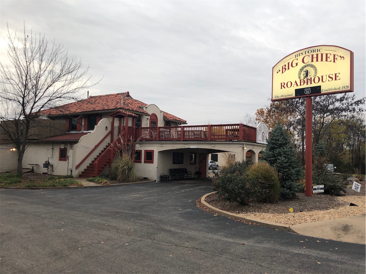
Big Chief Roadhouse
This restaurant originally opened in 1929 as the Big Chief Hotel that included 62 cabins with attached ...
DetailStatewide
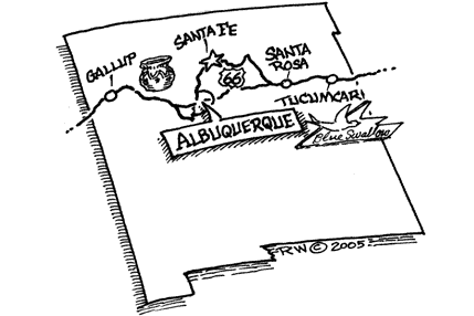
New MexicoPrinting this description can take a lot of time, so you might want to consider buying commercially available alternatives such as the 8 map set and the EZ66 guide to take along on your trip.
Enter New Mexico on SR118 from Arizona frontage road
Go through Manuelito on SR118
Cross railroad tracks
Turn Left, curve around intersecting road, cross over I-40 at Exit 8
Go about 3 miles on the south frontage road (SR118)
Pass under I-40, take north frontage road
Pass the I-40 overpass, continue East on SR118
- Red Rock State Park
Follow Railroad tracks through Gallup
At East end of Gallup, cross over I-40 to north frontage road
Follow frontage road East, enter I-40 at Exit 36 (Iyanbito)
Leave I-40 at other side of Continental Divide (Exit 47)
Take SR122 East through Thoreau, Prewitt, Bluewater, Milan
Follow SR122 into Grants. Cross over railroad tracks
Find Sanders Avenue, follow out of Grants.
Find & follow SR117 East
Cross over I-40 at Exit 89, follow frontage road through tunnel
- May want to take I-40 from Exit 89 to exit 96 if road is bad
Take SR124 East through McCartys, San Fidel, Cubero, Paraje
Around I-40 Exit 114, turn left onto North frontage road, follow East
Follow east, pass Exit 117, cross I-40
- Road conditions are bad. Should take I-40 to Cuerbo. Route 66 is dirt, and severe “washboard” which is quite hard on street motorcycles. It’s not well marked, either. It’s no fun at night.
Turn Left, pass railroad overpass, go into Cuerbo
Exit Cuerbo on SR6, go North on SR6 for 2 miles to Laguna
Follow SR6 (may need to ask directions) to Correo
Continue on SR6 to Las Lunas
Go two lights, Turn Left on 314 (Luna Ave.)
Continue on SR314 North through Pajarito
SR314 becomes Isleta Blvd. in Albuquerque.
Turn right onto Bridge Blvd., cross the Rio Grande on Barelas Bridge.
Turn Left (North) onto 4th St.
Turn Right onto Silver Ave.
- Albuquerque Museum
Turn Left onto 2nd St.
Turn Left onto Lomas Blvd.
Turn Right (North) onto 4th St.
4th Street becomes SR313, follow it North.
Follow SR313 through Alameda, Bernalillo
At Algodones, enter I-25 at Exit 248.
Leave I-25 at Exit 267 (Waldo).
Take South (East) frontage road North.
La Cienega
Rejoin the I-25 at Exit 276, go for two miles to Exit 278.
Follow Cerrillos Roadway up, it becomes Gallisto.
Turn right onto Water Street.
Turn Right onto Old Santa Fe Trail, cross the Santa Fe River.
Old Santa Fe Trail becomes Old Pecos Trail.
Cross the Pecos River.
Old Pecos Trail becomes northern frontage road of I-25.
Follow frontage road, enter I-25 at Exit 294.
Leave I-225 at Exit 299 at Glorieta
Take SR50 at Pecos, turn right onto SR63 South.
Take US84/85 South through Rowe
Cross to south side of I-25 at Ilfed/Sands
Continue on US84/85 on north side of I-25
Pass Riberia, Serafina/Bernal to Las Vegas
Take US84/85 south through Romeoville, Charles R Ranch, Los Montoyas, Dilla. (84 is also I-40)
Leave I-40 at Exit 273. (by Santa Rosa)
Pass under Railroad, and bear Left at US54 junction
Cross Pecos River
- Silver Moon Restaurant (East end of town)
Follow the boulevard East through Santa Rosa
Enter I-40 at Exit 277, leave I-40 at Exit 291 at Cuervo
Follow I-40 frontage road parallel to railroad tracks to Newkirk
Follow frontage road through Montoya, cross to north frontage road
Enter I-40 at Exit 321 (or at Exit 311 if you don’t want to ride on gravel)
Leave I-40 at Exit 329 (Tucumcari Blvd)
Follow South frontage road to San Jon
Take old road (frontage?) past Endee to Glenrio- But when you see the sign stating that “Pavement Ends”, get back on I-40 East or you’ll go on 17 miles of dirt road. The dirt is deep, and there are glass and wire scraps in it. NOT for street motorcycles.
Take I-40 East to Texas
Description courtesy of Kelly Cash
