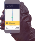
Turn by turn
Random point of interest
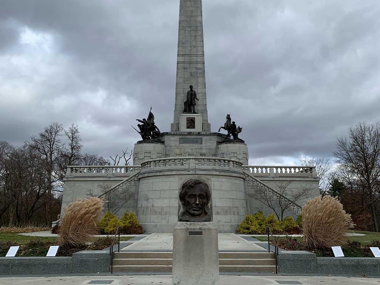
Abraham Lincoln Tomb
The Lincoln Tomb is the final resting place of the 16th President of the United ...
DetailQuapaw – Vinita
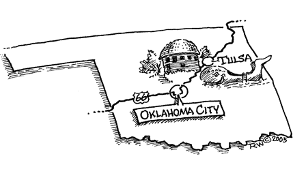
OklahomaPrinting this description can take a lot of time, so you might want to consider buying commercially available alternatives such as the 8 map set and the EZ66 guide to take along on your trip.
Quapaw
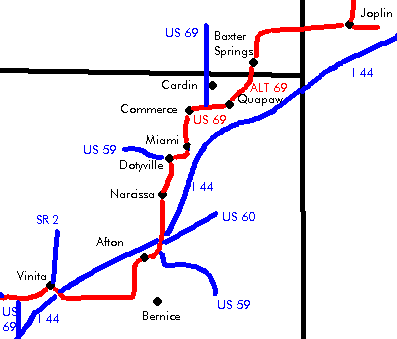
Enter Oklahoma on US-69-Alt (OK-66) southbound.
Follow US-69-Alt (OK-66) as it makes a slight right turn.
Follow US-69-Alt (OK-66) as it curves left into Quapaw.
Continue onto Main St. (US-69-Alt, OK-66) at the intersection with 1st St. (US-69-Alt).
South of town, turn right onto US-69-Alt (OK-66) as itveers away from Main St. (OK-137).
Many buildings have murals painted on them.
Continue straight (=west) at the intersection with US-69 onto US-69 (OK-66).
Commerce
Continue south after the curve onto Mickey Mantle Blvd. (Jefferson St., US-69, OK-66).
Follow Mickey Mantle Blvd. (US 69, OK-66) though the curves towards Miami.
Miami
Pronounced my-am-uh, a name of Native American origin.
Follow onto Main St. as US-69 (OK-66) curves onto it entering Miami.
Coleman Theater, 1929, at the corner of 1st Ave. and Main St.
Route 66 actually was on A St. (one block west of Main St.) until Steve Owens Blvd., where it returned to Main St., but we don’t want anybody missing the restored Coleman Theater.
At the intersection with Steve Owens Blvd (US-69, OK-10, OK-66):
| Sidewalk highway | Recommended alignment |
|---|---|
|
Do not take this alignment when wet. This alignment includes portions that are partially dirt road and partially paved (pavement is in total 8 foot wide). Continue straight onto Main St. (OK-125). Continue slight right as Main St. becomes E St. (OK-125). Continue straight (=south) onto on E St. at the intersection with 120 road (OK-125). 8 foot wide road, drive slowly, there’s a true relic of times past under your wheels! Turn right (=west) onto E 130 Rd. Turn left (=south) onto S 540 Rd. Turn right (=west) onto E 140 Rd. Turn left (=south) onto US-69 (US59, OK-66). |
Turn right onto Steve Owens Blvd (US-69, OK-10, OK-66). Cross Noesho River. Continue as the road curves left(=south) following US-69 (OK-10, OK-66) DotyvilleDotyville center is to the right. Continue straight (=south) at the intersection with US-59 (OK-10), onto US-69 (US-59, OK-66) |
|
continue |
|
Continue on US-69 (US59, OK-66) southbound.
Narcissa
Continue on US-69 (US59, OK-66) southbound.
Old garage and gas station 0.1 miles south of Narcissa.
| Sidewalk highway | recommended |
|---|---|
|
Do not take this alignment when wet. This alignment includes portions that are partially dirt road and partially paved (pavement is in total 8 foot wide). Turn right (=west) onto E 200 Rd. 8 foot wide road, drive slowly, there’s a true relic of times past under your wheels! Turn left (=south) onto S 520 Rd. Cross over I44. Cross the railroad tracks (CAREFULLY, this track is in use!) Turn right onto US-60 (OK-66, US-69). |
Cross I-44. Continue straight towards US-60, OK-66, US-69, US59 at the interchange (US-60 joins here). Buffalo Ranch, a former popular tourist stop (1953-1997). Continue right at the intersection with US-59, leave US-59 and continue on US-60, OK-66, US-69. |
|
continue |
|
Continue on US-60 (OK-66, US-69).
Horse Creek Bridge.
Afton
Continue on US-60 (OK-66, US-69).
Rest Haven Motel on the right.
Old tourist cabins on right 0.8 miles further.
Continue on US-60 (OK-66, US-69) as it curves left (=south).
Curve right with US-60 (OK-66, US-69) (=west) at Dead-Man’s corner.
Old gas station and garage on the right.
Continue straight at the intersection with OK-82 onto US-60 (OK-66, US-69) (=west) at Dead-Man’s corner.
Vinita
Cross under I-44 at exit 289 on US-60 (US-69, OK-66).
